Discover, Explore, Engage
LOKA connects you with stories, experiences, and insights from the world around you.
Every landmark, every alley, every tree can be part of a living map—tagged, shared, and discovered by everyone.
LOKA connects you with stories, experiences, and insights from the world around you.
Every landmark, every alley, every tree can be part of a living map—tagged, shared, and discovered by everyone.
We offer our users an experience-driven exploration, not just transaction-driven.
LOKA is not just for information and location-finding, but for engaging with your surroundings — culturally, emotionally, physically.
LOKA uses AI to organize the information around you and guides you in exploring your surroundings.
Information about every location has been crafted to highlight their 'interestigness'.
Whether its the charm of the local market, an outstanding library in the vicinity or a lakeside spot to relax, LOKA will bring it you your attention.
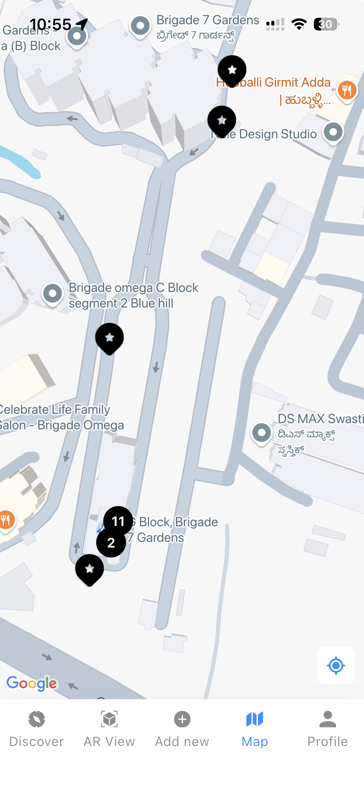
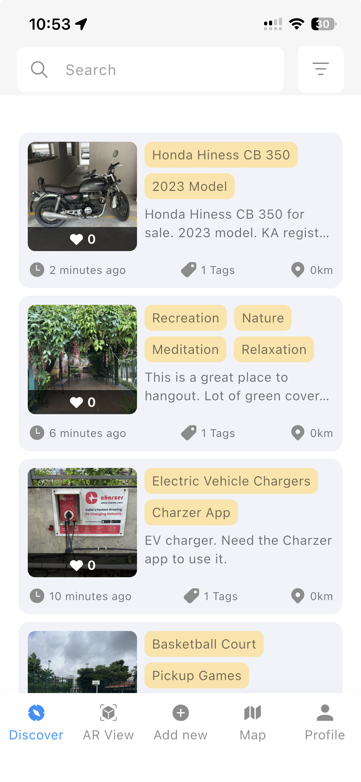
Interactive Map – View geo-tagged stories, cultural landmarks, local finds, and nature spots around you. Each pin opens a window into the meaning of the place.
Augmented Reality (AR) View – Just point your camera to reveal hidden layers of history, ecology, and culture — temples, trees, grafitti, art installations and more.
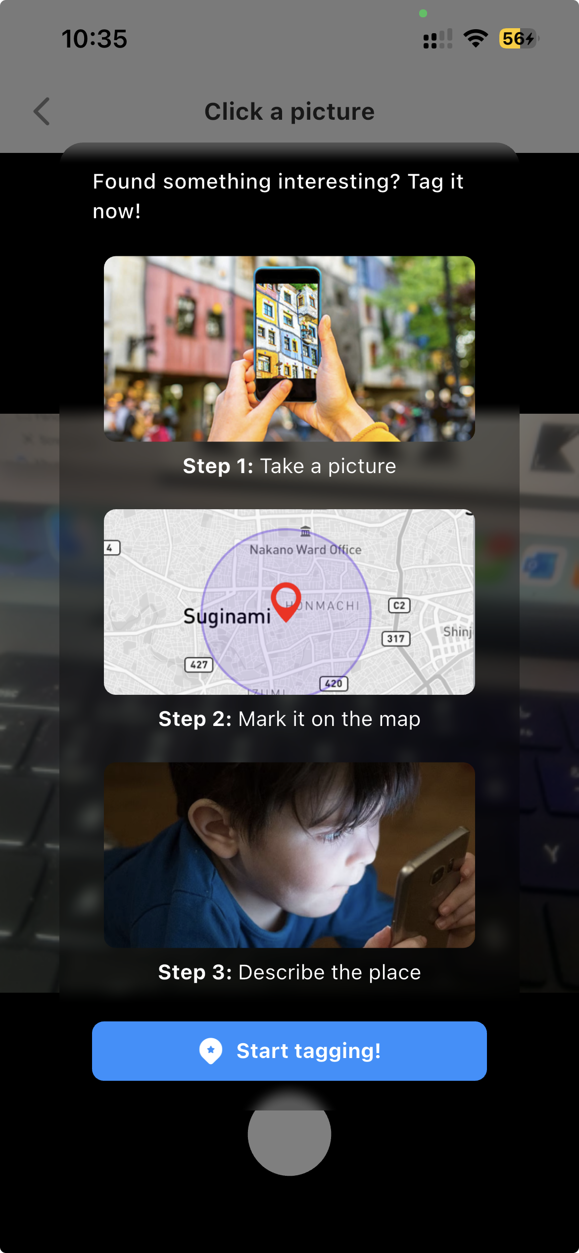
Add photos, facts, and stories about the places you care about — a local tree, a forgotten monument, or your favorite street corner. Share your knowledge with the LOKA community!
Whether you're a curious wanderer or a committed changemaker, LOKA meets you where you are — and helps you map what matters.
Discover hidden gems, cultural stories, and nature trails right in your backyard.
Enrich public spaces with augmented storytelling — museums, parks, and heritage sites come alive with spatial knowledge.
Put your community-driven business on the map and connect with nearby customers.
Map lakes, trees, biodiversity, and green corridors. Stay informed, stay involved.
Use LOKA as a tool for field studies, GIS mapping, and learning beyond the classroom.
Spot and report local issues — from broken roads to public hazards — and be part of the solution.
The technology powering LOKA is a modular, AI-driven platform for location-specific data creation, categorization, and discovery — built for scale, adaptability, and contextual depth.
Map manufacturing units, campuses, or warehouse zones as layered, interactive spaces with markers, instructions, safety notes, and more.
Use Case: A factory floor mapped with AR markers for equipment safety zones, maintenance logs, and real-time instructions.
Use LOKA’s AR engine to create on-site training overlays—visual guides, SOPs, or safety walkthroughs that appear contextually in real space.
Use Case: New staff navigate a retail outlet or service center while receiving AR-based onboarding.
Support employee movement across large campuses or complex environments with indoor/outdoor micro-maps, tagged checkpoints, and visual aids.
Use Case: A hospital using tagged zones for orientation, emergencies, or equipment tracking.
Empower teams to collaboratively tag and update spatial knowledge — replacing static manuals or maps with a living, visual database.
Use Case: A construction firm enables engineers to annotate a site with phase-wise updates accessible via AR.
The form has been successfully submitted.